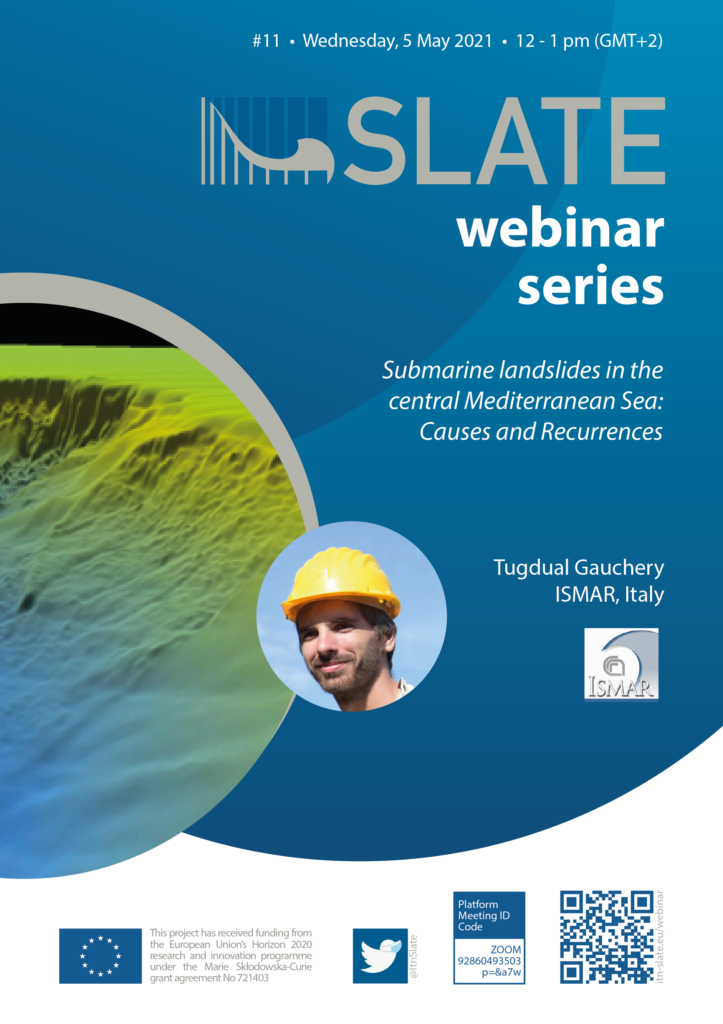
The Mediterranean Sea has experienced many submarine landslides along its passive and active margins, volcanic island flanks and banks. Various settings that are characterized by low slope angle (< 2°) and capable of generating large mass-transport deposits (> 100 km3). Within the Central Mediterranean Sea, several submarine landslides have been emplaced in the Strait of Sicily, which is characterized by strong water masses exchange between the western and eastern Mediterranean, complex tectonic and volcanic activity. The access to unpublished sediment cores, very-high resolution sub-bottom and industrial multi-channel seismic (MCS) data acquired in the Gela Basin, in the northern Strait of Sicily, gave the opportunity to study the causes and recurrences for sediment failures. In total, 27 stacked MTDs were mapped along the Gela slope and basin with volumes from <1 km3 up to 630 km3. The correlation of deep boreholes with MCS profiles allowed the recognition of a drastic transition, at 0.8 Ma, in the sediment accumulation and margin outbuilding, in the volume displaced by submarine landslides and their recurrences, and in the growth of contourite deposits. Tectonic-related mass-transport deposits (MTDs) were predominant until 0.8 Ma, when contourite- and clinothem-related MTDs became prevailing due to faster bottom currents and increase in sedimentation rate on the margin. Slope stability analyses indicate that some MTDs emplaced in the last 20 kyr are unrelated to seismicity as triggering mechanism. The model is based on the offshore continuation of the Scicli-Ragusa fault line and shows that strong seismic shaking (M = 6.5) is insufficient to mobilize an MTD (South Gela Basin Slide, SGBS) mapped along the southern Gela Basin, close to Malta. SGBS is most probably due to mass-wasting of prominent upper slope contourite deposits that started accumulated during MIS 5. The interpretation of cores recovered in the area of SGBS allowed to constrain an age of emplacement of about 17 kyr for SGBS and reconstructing the climate signals and bottom current activity prior, during and post-failure. The seafloor morphology, sea level changes and consequent reduced/enhanced freshwater input from the Strait of Gibraltar drove changes in the oceanographic circulation, which in turn affected both depositional style and margin instability.
- Wednesday, 5 May 2021
- 12 pm – 1 pm (GMT+2)
- via ZOOM
- permanent Zoom Link
- ID: 928 6049 3503
Code: p=&a7w
Webinar Flyer:


