Quantitative geomorphometric investigations of mass wasting deposits
Rachel Barrett | CAU Kiel
Research
My research is primarily centred on the quantitative description and analysis of submarine landslides using geophysical and hydroacoustic data. Compared to their terrestrial counterparts, submarine landslides are poorly studied; this is a direct consequence of lower (and more variable) data resolution compared to terrestrial data, and artefacts related to the overlying water column. These factors make quantitative analysis of submarine landslides challenging, and so the majority of studies rely on a qualitative approach. This makes comparison of landslides that are of differing sizes, in different settings or formed by different processes challenging as there is an inherent subjectivity involved in a qualitative approach. Studies have recognized the need for a unifying quantitative framework for the analysis of submarine landslides, with one recent study (Clare et al., 2018) laying out quantitative parameters that should be calculated for submarine landslides. However, if the extent of the landslide is visually delineated, calculation of these quantitative parameters remains non-unique. One goal of my project is to create a routine (using python or GIS software) for the semi-automatic delineation of submarine landslides. This will enable the calculation of a suite of geomorphic parameters (such as displaced volume, runout length, and width) in an objective manner, allowing for easy comparison of landslides of different ages and in varying settings.
Geomorphometric parameters such as slope gradient, profile curvature, aspect and surface roughness are routinely used to describe landforms both onshore and in the marine realm; however the suite of geomorphometric parameters that is used in a marine setting is greatly reduced compared to that utilised onshore. This is a consequence of data resolution and availability, as well as a distinct variation in the geomorphology of the seafloor compared to terrestrial landscapes. A second objective of my research is to explore whether there are additional geomorphometric parameters that are applied in terrestrial settings that could help to provide more information about submarine landslides.
References
Clare et al. (2018). A consistent global approach for the morphometric characterization of subaqueous landslides. Geological Society of London, Special Publications, 477, doi: 10.1144/SP477.15
- Sebastian Krastel (CAU Kiel)
- Peter Talling (Durham University)
- Christian Berndt (GEOMAR)
- Francesca Zolezzi (D’Appolonia)
TEAM
NEWS
2019
@ Vienna, Austria (07 – 12 April 2019)
Conferences, ESR 1, ESR 12, ESR 13, ESR 14, ESR 15, ESR 2, ESR 3, ESR 4, ESR 5, ESR 6, ESR 7, ESR 8, ESR 9, News
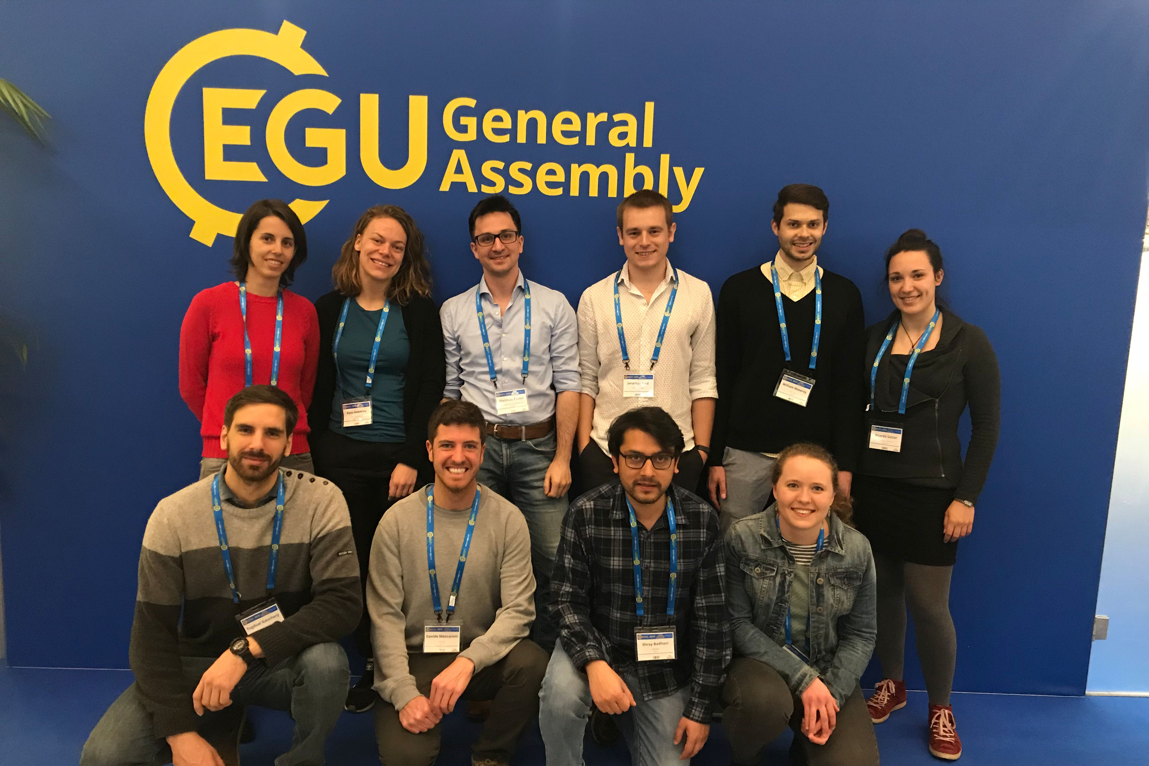
ESRs share their experience at the EGU General Assembly 2019 hosted in Vienna, Austria. Posters, oral presentations, PICOs and much more.
2018
Let’s get muddy!
ESR 1, ESR 13, ESR 14, News
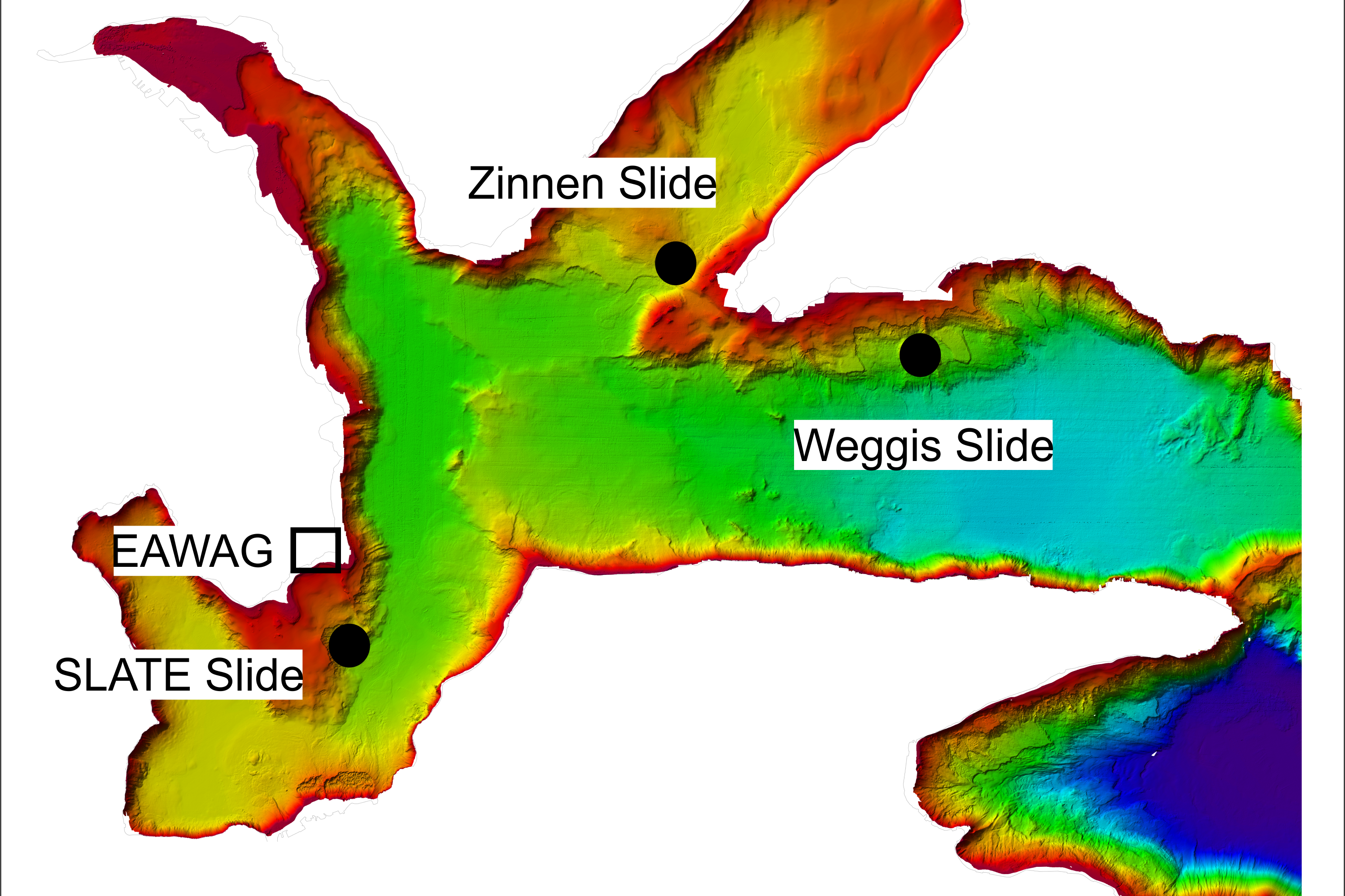
During our 2nd annual workshop, the ESRs investigated three different landslide events at Lake Lucerne, Switzerland. In the second blog of the ‘Lake Lucerne Workshop’ series Rachel (ESR1), Thomas (ESR13) and Matthias (ESR14) share their experience on project planning as well as mapping, coring and analysing the data.
@ Victoria, Canada (7-9 May 2018)
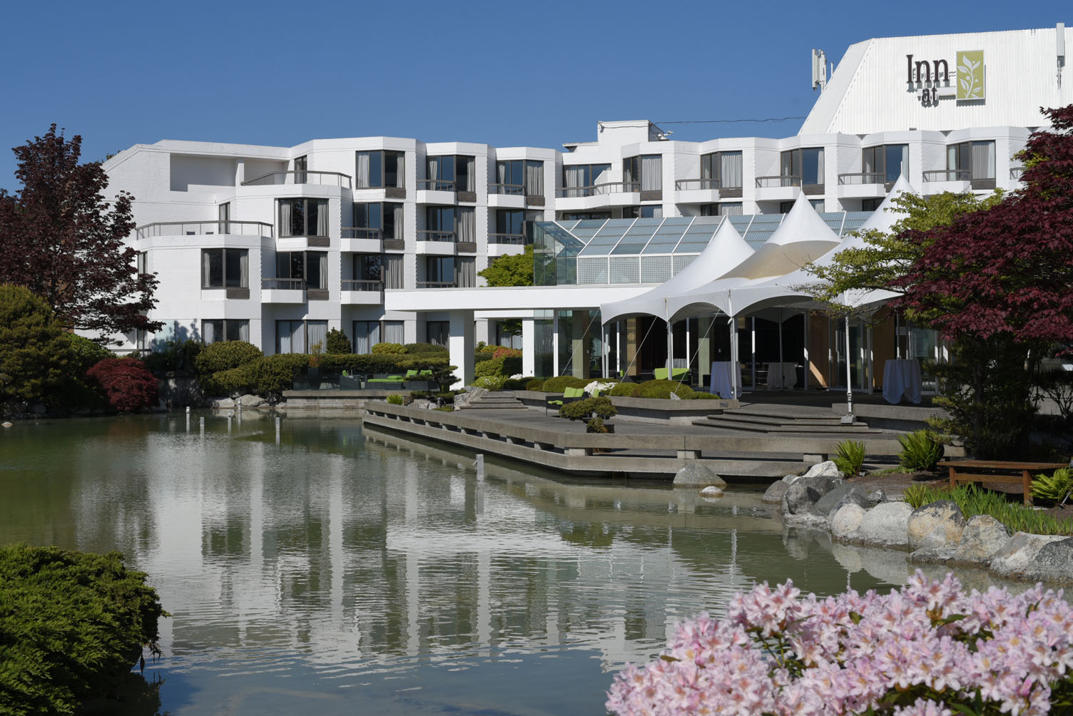
ESR 1, ESR 10, ESR 15, ESR 3, ESR 5, News
Rachel, Tugdual and Maddalena share their experience of the 8th International Symposium on Submarine Mass Movements and Their Consequences (ISSMMTC) hosted in Victoria, Canada! This bi-/triannual conference supported by UNESCO’s International Geoscience Programme (IGCP) was a great opportunity for our young scientists to come together and discuss the latest in the growing field of submarine landslide research.
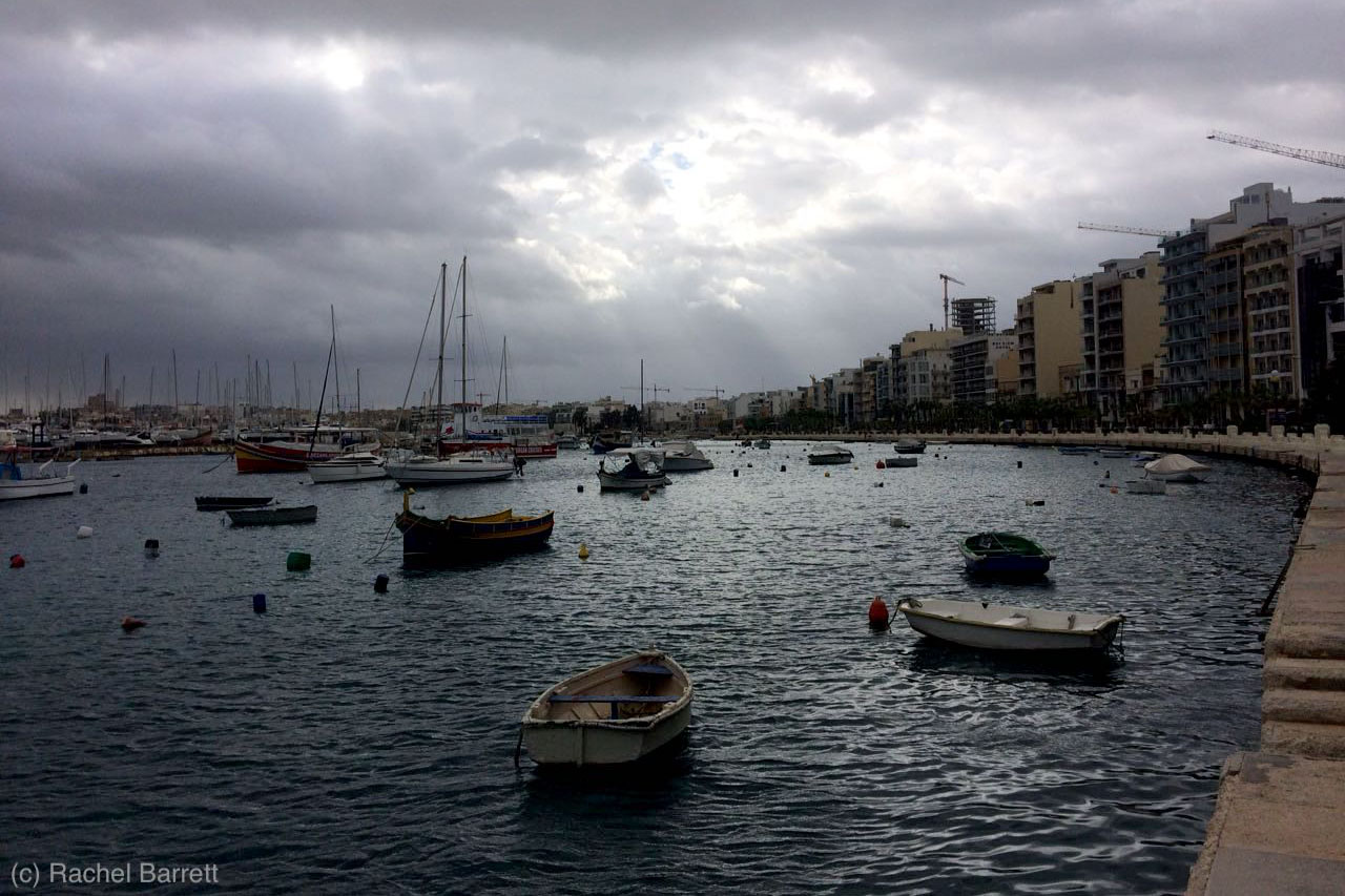
@ University of Malta (UM), Malta
ESR 1, News, Secondments
I am a doctoral student within the project SLATE and am based at Christian-Albrechts-University in Kiel, Germany. My research is primarily centred on the quantitative description and analysis of submarine landslides using geophysical and hydroacoustic data. Compared to their terrestrial counterparts, submarine landslides are poorly studied; this is a direct consequence of lower (and more variable) data resolution compared to terrestrial data, and artefacts related to the overlying water column. These factors make quantitative analysis of submarine landslides challenging, and so the majority of studies rely on a qualitative approach.


